Kuiertocht Warns
This walking tour through and around Warns takes you across historical ground.
Now it's a peaceful round, but in 1345 it was different. The Frisians defeated the invading army of the Count of Holland here in the marshes between Warns, Scharl, and Laaksum. The monument at Reaklif still reminds you of the Battle of Warns.
Wheelchair Accessible
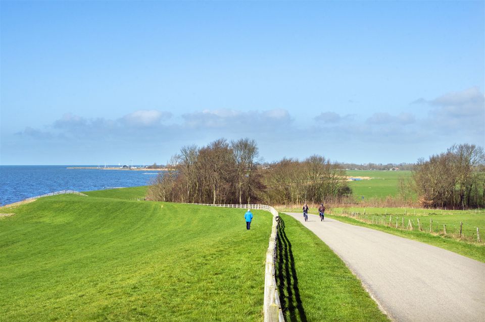
This entire route runs on paved paths, making it easily accessible for people using wheelchairs, walkers, or strollers.
Kuiertocht
A "kuiertocht" is a short walking route. So, it probably won't surprise you that in Frisian, "wandelen" translates to "kuierje". You can easily combine a leisurely stroll with an activity in the area, or choose to embark on another leisurely stroll. An overview of all leisurely strolls can be found here.
Sights on this route
Starting point:
Waypoint walk 51
Warns
Navigate to starting point
Waypoint walk 51
Scharl Bell Tower
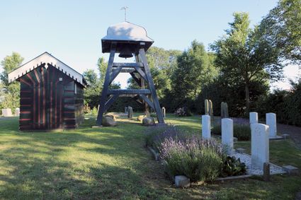
The circular graveyard in the little village of Scharl sits on a natural mound. The wooden bell tower in the graveyard was built in 1898. Beneath its four-sided metal dome roof there is a single bell.

Rode Klif (Red Cliff) at Lake IJsselmeer
At the edge of Lake IJsselmeer there is a red cliff that is 10 metres high. It was formed during the last ice age but one when the land was pushed up by glaciers that advanced from Scandinavia. The forces exerted by the ice created hills in the landscape.

Rode Klif (Red Cliff) at Lake IJsselmeer
Rode Klif (Red Cliff) at Lake IJsselmeer
Skarl
8721 EX Warns
IJsselmeer
Het IJsselmeer is ontstaan na het voltooien van de afsluitdijk, de vroegere Zuiderzee werd hierdoor opgesplitst in de Waddenzee en het IJsselmeer.

Harbor of Laaksum
The harbor of Laaksum is an idyllic spot in Southwest Friesland. We often refer to it as the smallest fishing harbor in Europe.

End point:
Waypoint walk 51
Warns
Navigate to endpoint
- 51
- 50
- 70
- 80
- 50
- 51
